Six days in paradise... backpacking the Enchantments
The Enchantments: unimaginable beauty and solitude with alpine lakes and picturesque peaks in the heart of the Cascades
The Enchantments is a magical place in Washington, a backpacker’s paradise. It is a compact area that can be divided into 3 parts: the Colchuck lake area to the west, the core enchantments in the middle and the Snow lake area to the east. The core Enchantments is very unlike the other parts of Enchantments, with numerous alpine lakes surrounded by majestic peaks, and water flowing everywhere. The core area is contained within an area of around 20 square miles. For us, the best parts of the hike were along the 5 miles of trail between Asgard pass and Lake Viviane. The immense beauty and the accessibility make this a very popular destination and to control the crowds and preserve this area, there is a lottery based permit system. We tried and failed to get a permit for 10 years but finally managed to score a couple of spots in the core zone through the online system after the lottery ended. The entire hike from Stuart lake trailhead to Colchuk and exit via Snow lake is just around 20 miles, with a steep elevation gain of 5600 feet and 7600 feet drop. This makes it a plausible, but strenuous, day hike and a lot of people attempt it, especially on summer weekends. We heard that there are about a 1000 cars parked at Colchuk lake trailhead on summer Saturdays! The best time to visit is between mid-July when most of the snow has melted and mid September when days start getting shorter and colder. The fall season is especially popular since the larches, which are trees all through Enchantments, turn golden. The permit system goes from mid-may to end of October due to the popularity of the area and the willingness of people to try their luck during the less popular times. Once you get a permit, you can stay upto 14 days: if being in the wilderness that long is your cup of tea and you can manage carrying food for that long! Our plan was to spend as much time as possible in the core area without feeling rushed, so we planned for 7 days. It worked out as follows:
Our trip
This trip was completed first week in August, 2020
Day 0: We camped at Eightmile camping ground, close to the trailheads.
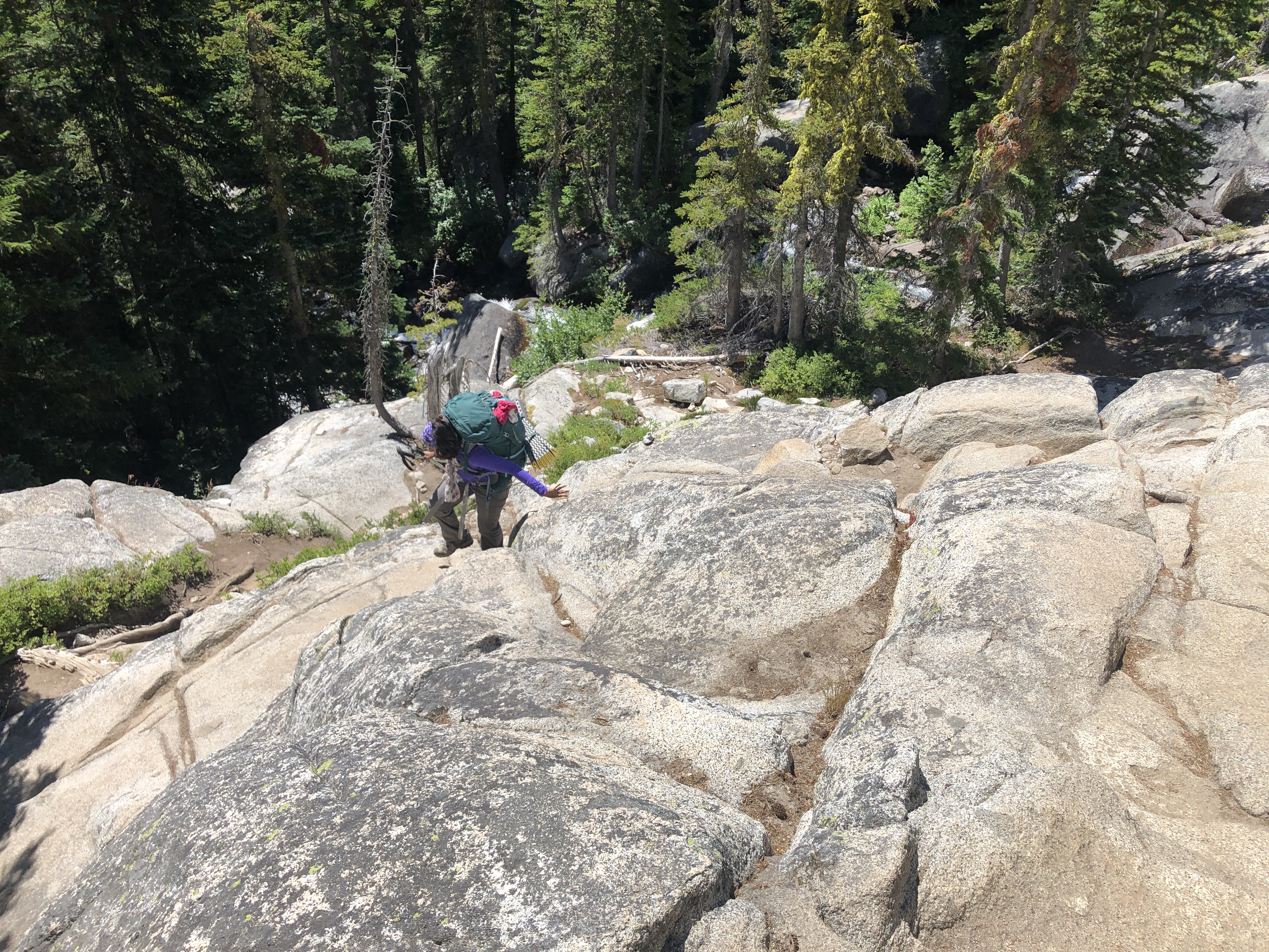
Day 1: We parked one car at the Snow lake trailhead and the other at the Stuart lake trailhead from where we started the hike. 2 miles into the hike the trail splits, one going to Stuart lake and the other to Colchuk. At roughly the 4 mile point, Colchuck lake starts becoming visible and this is also a good area for camping. From Colchuck, the views of Dragontail peak and Asgard pass are breathtaking, and remind us of the pleasures and pain of the next day. We found it strange that there was no one going up the Asgard pass. It was only the next day we realized that people look like ants from where we had setup camp.
Distance: 4.4 miles, with a elevation gain of 2325 ft.
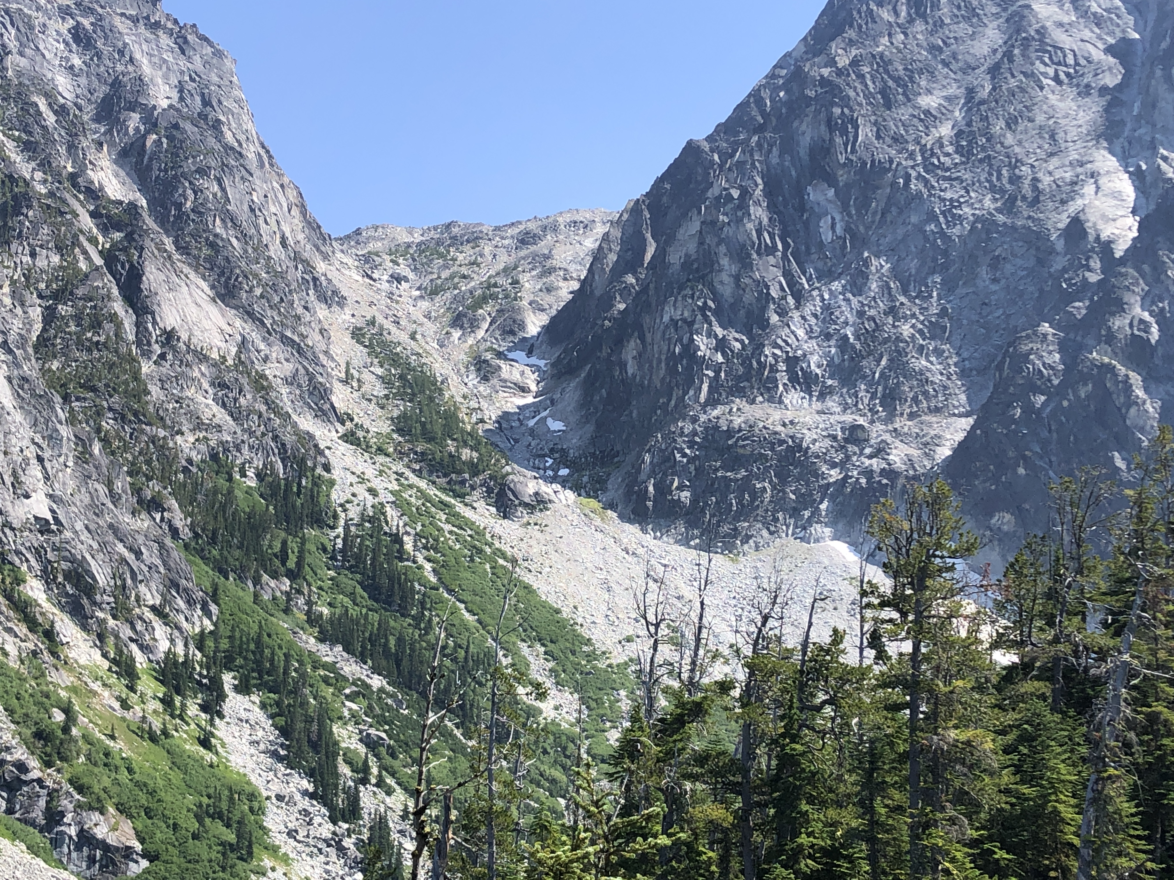
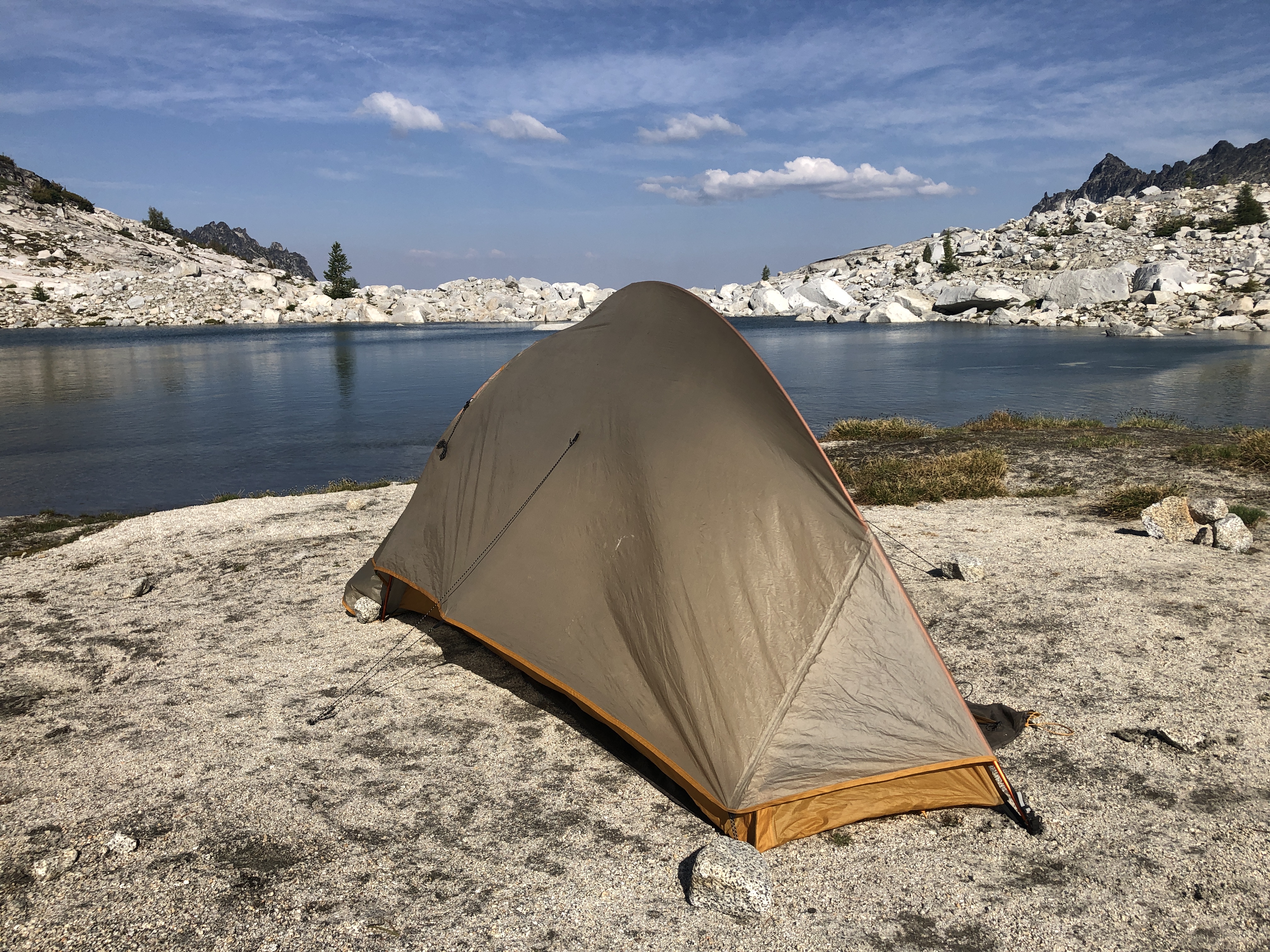
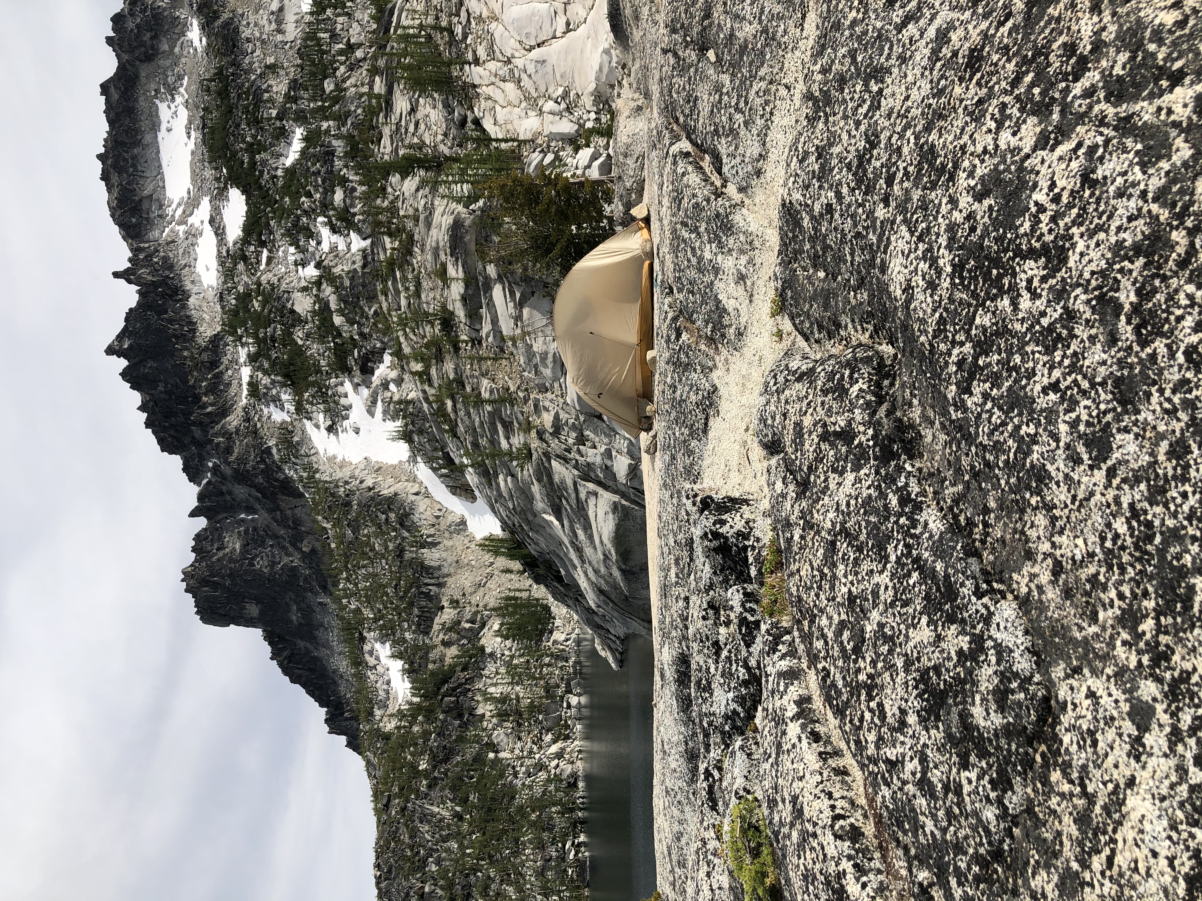
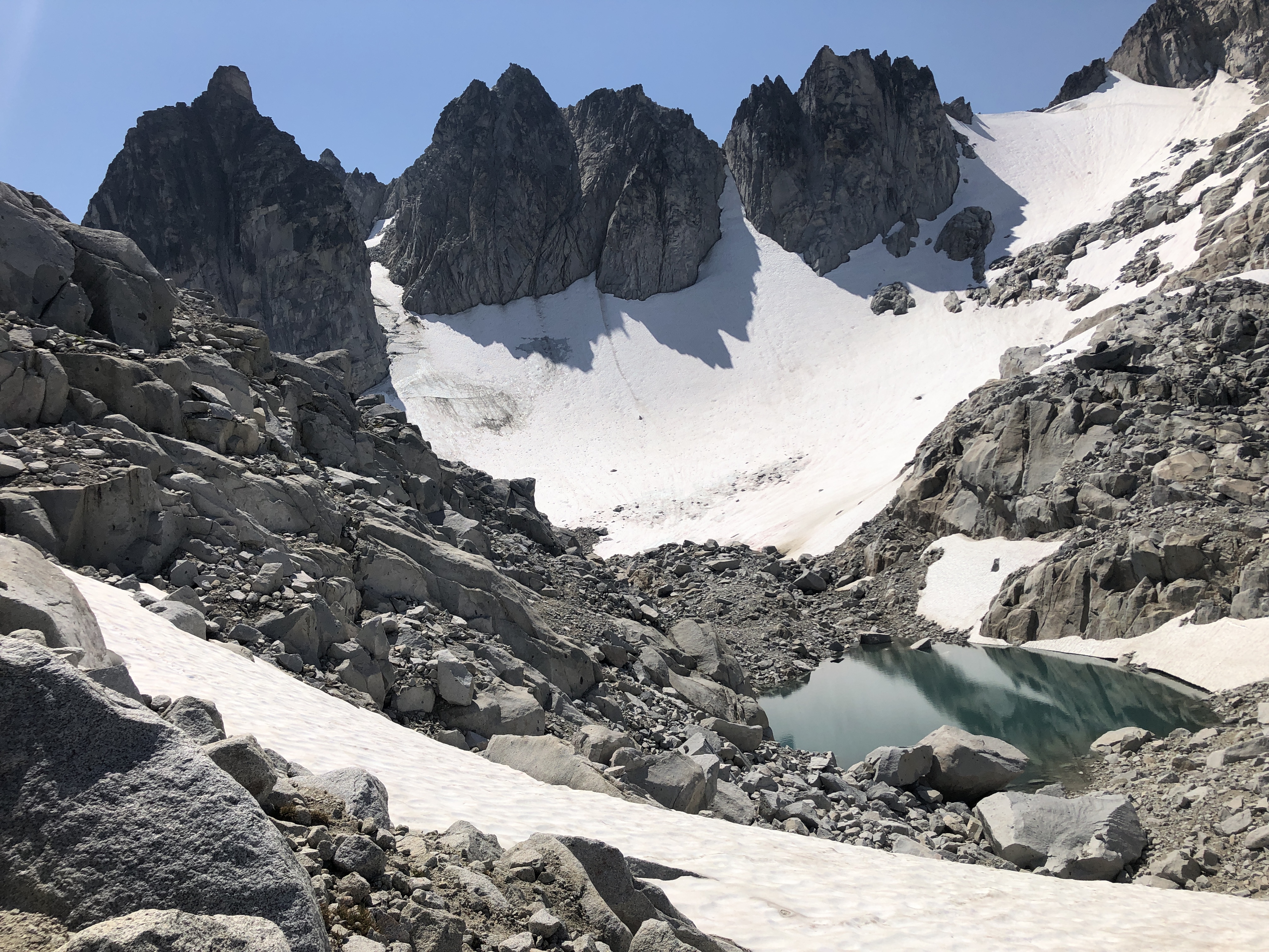
Day 2: After a good breakfast, we headed to Asgard pass. The trail heads to the south end of the lake over a series of boulders that have rolled down from Dragontail peak. There were several tents between the boulders where people camped. Once the boulder patch is over, we are at the south east corner of lake Colchuck with beautiful views of the entire lake. And we get the first close up glimpse of the path up to Asgard pass, which is not pretty. It is a steep rocky patch, about 1 mile up with a 2000 feet elevation gain. It was hard to follow the trail and we wandered left and right, crossing a waterfall a couple of times. We finally landed at the foot of Dragontail peak, with a beautiful glacial lake at the bottom. From there we followed the cairns that led us to Tranquil and Isolation lakes. This was barren land with beautiful views of Dragontail peak. We were very tired, and decided to camp just past Isolation lake, at the start of the “lakelets”. We put up camp right beside a nameless lake with a waterfall behind us. Mountain goats came by to check on us, they love the salt in the human urine, and so are are constantly watching us.
Distance: 3.8 miles, +2585ft, -450ft
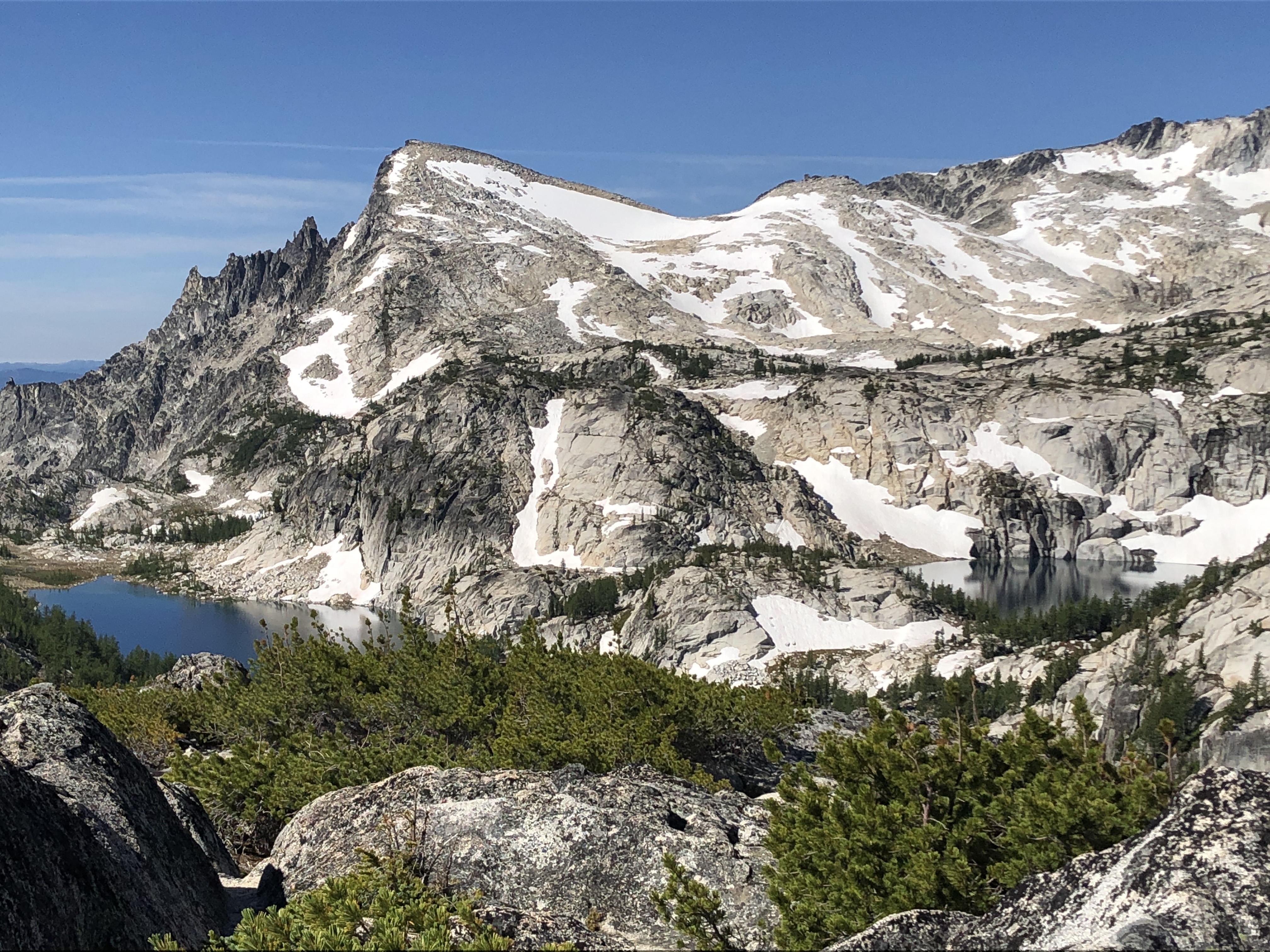
Day 3: We spent the day at the peak of Little Annapurna. The trail was just half a mile, but climbed 1000 feet up! There is no official trail for this hike, but once you start making your way up Little Annapurna, you can follow the cairns left by other hikers. The astounding beauty of Enchantments has to be experienced from the top of Little Annapurna. You can see the entire stretch of Enchantments, from Asgard pass and Dragontail peak to Prussik and lake Viviane and the Upper Snow lake. At the bottom of Annapurna, we could could see Crystal lake. You also get a 360 degree view of the Cascades, from Mount Baker to Mount Rainier and beyond. Its fun to see the wave of mountains that from the Cascades. After lunch at Little Annapurna, we returned to our camp and packed up to setup our camp near Inspiration lake, just a mile down the trail. This small stretch between Inspiration and Perfection lakes has several campsites, but this area is super popular and most people with a core permit will try to get here. We got lucky to get a beautiful isolated spot overlooking Perfection lake.
Distance: 3.4 miles, +1100ft, -1500ft
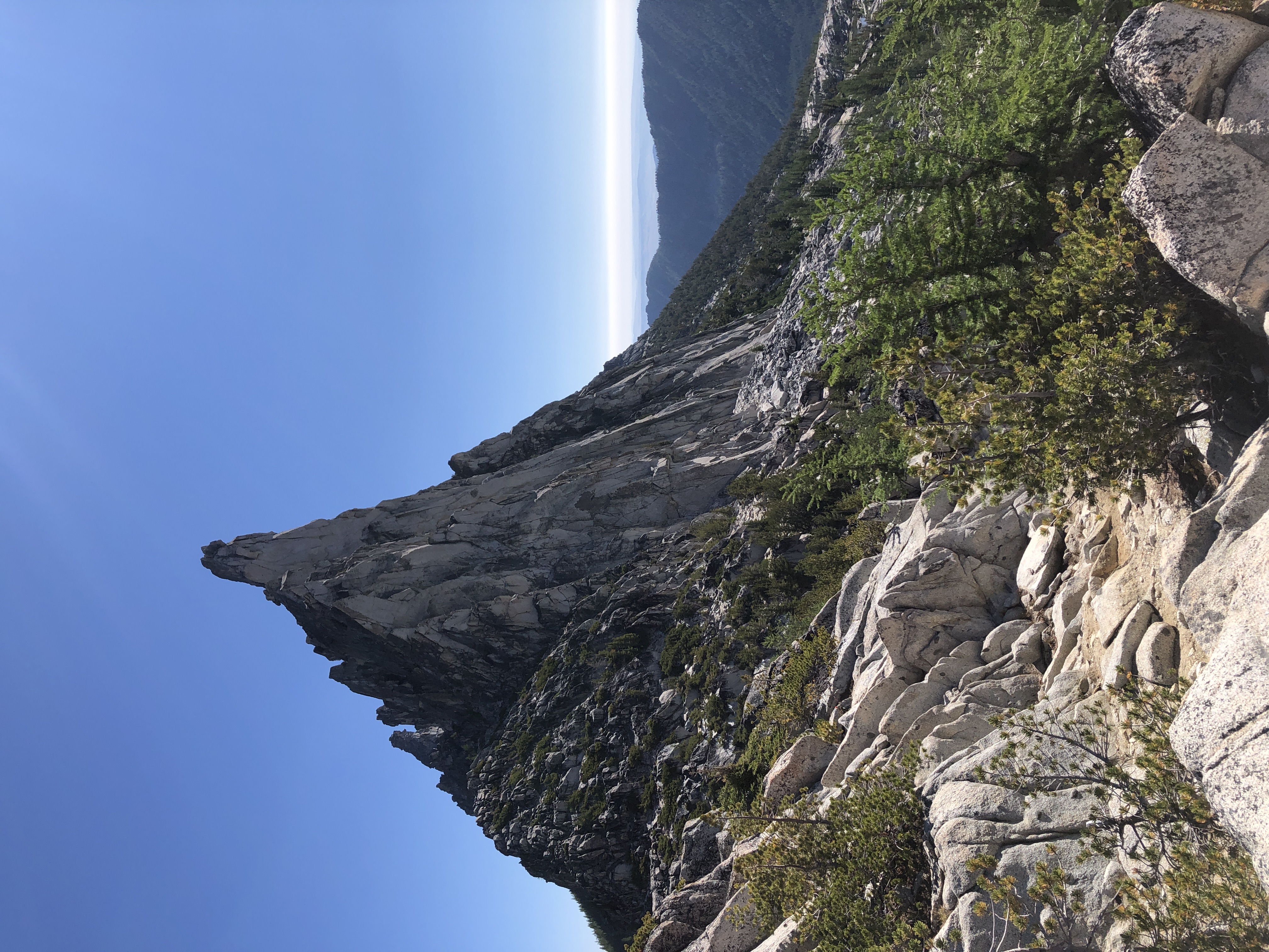
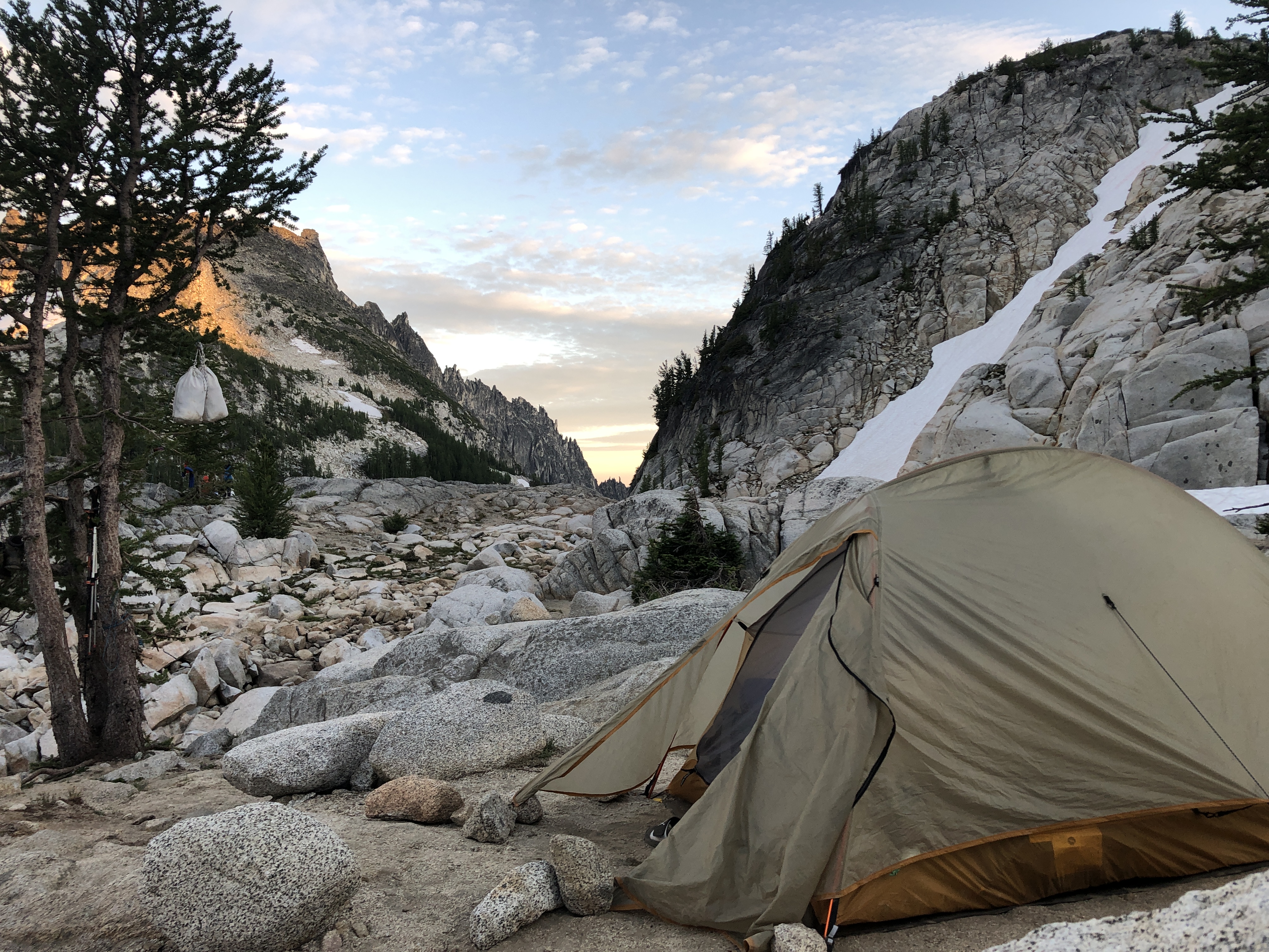
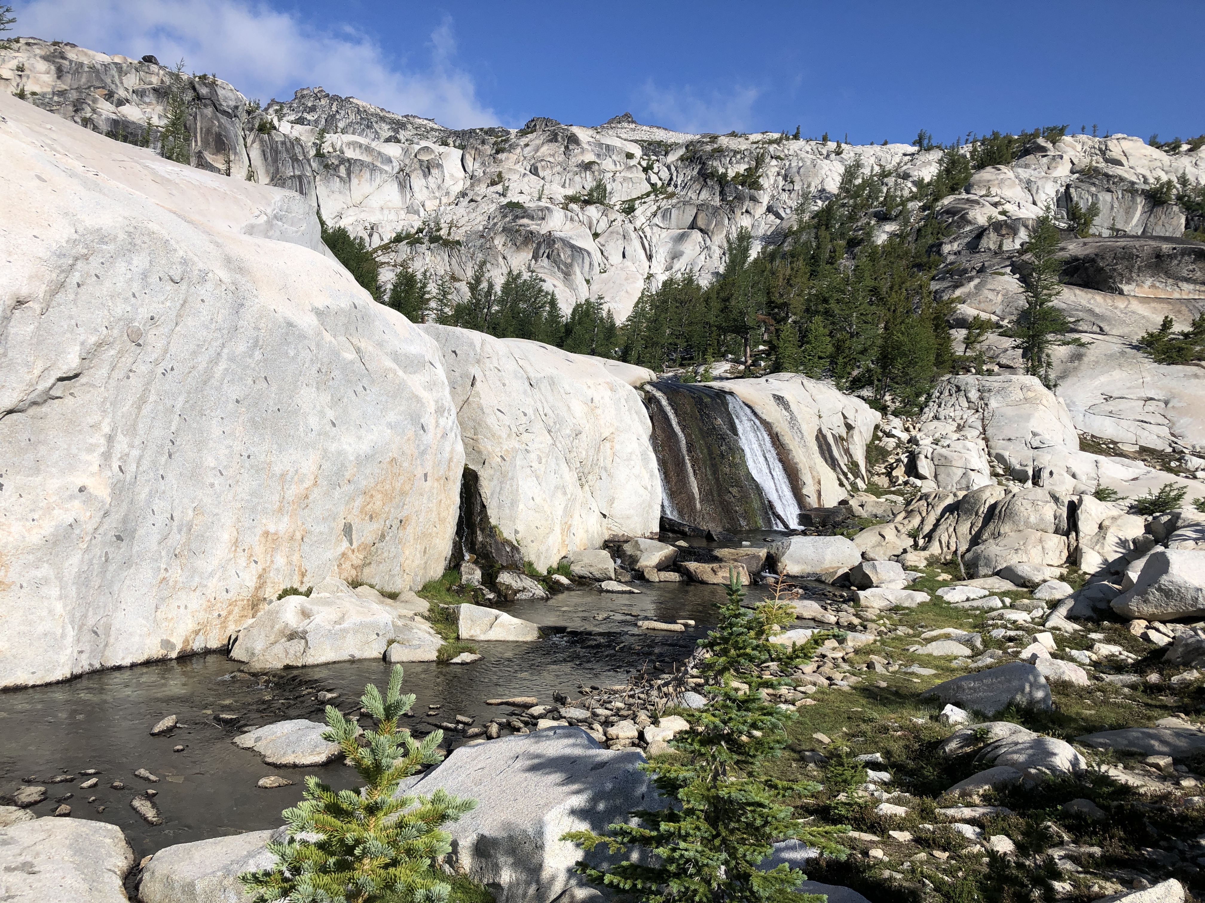
Day 4: We spent this day at the base of Prusik mountiain, with 360 degree views all around us. We headed to Prusik pass and then climbed up Gnome tairn from where we felt we could almost touch prussik peak. To the north we could see Shield and Earle lakes 600 feet below us. We could make out a steep trail that led down to the lakes but we decided that we would rather just stay put and enjoy the views just like we had done the previous day at Little Annapurna. Later in the afternoon, we headed back to camp, packed up and moved our camp on a rockly ledge just to the west of Leprechaun lake where we had a series of waterfalls all to ourselves. Late in the afternoon, we suddenly found that the extremely mild weather we had experienced all along suddenly changed with the wind blowing stronger. We expected this to pass but the wind became stronger and stronger, till we saw our tent completely bend all the way towards the ground. The only thing that kept it flying off like a kite were the rocks that we had piled up at each corner of the tent. It soon became clear to us that our position at the top of the cliff put us at extreme risk from being blown off if the wind became stronger, so late in the evening we moved our tent to a more sheltered spot. The wind became stronger and stronger, and the wind gusts that crashed into our tent kept waking us up all night long. The tent poles were trying their best to stay firm but it seemed a matter of time before they would snap. Luckily we survived the night and we were happy to welcome the warming sun and the wind suddenly died off.
Distance: 4 miles, +700ft, -1030ft
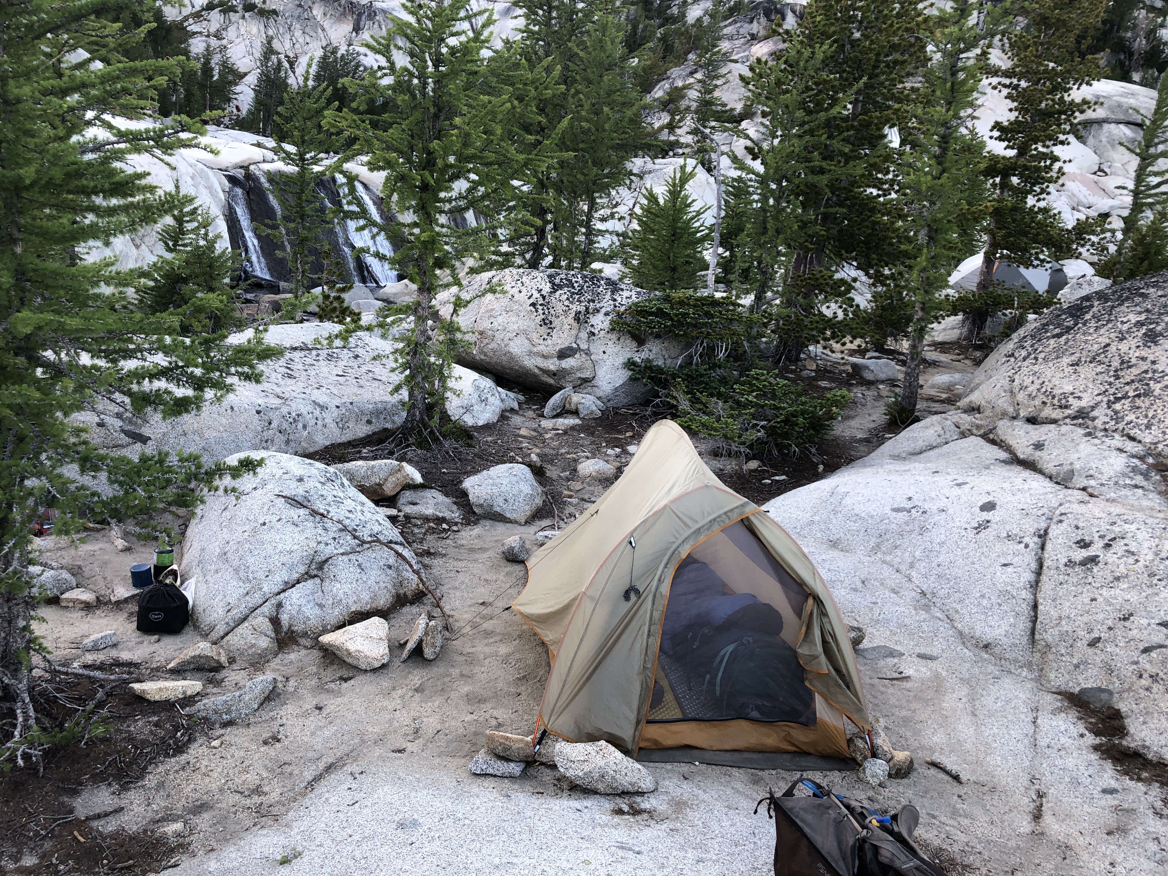
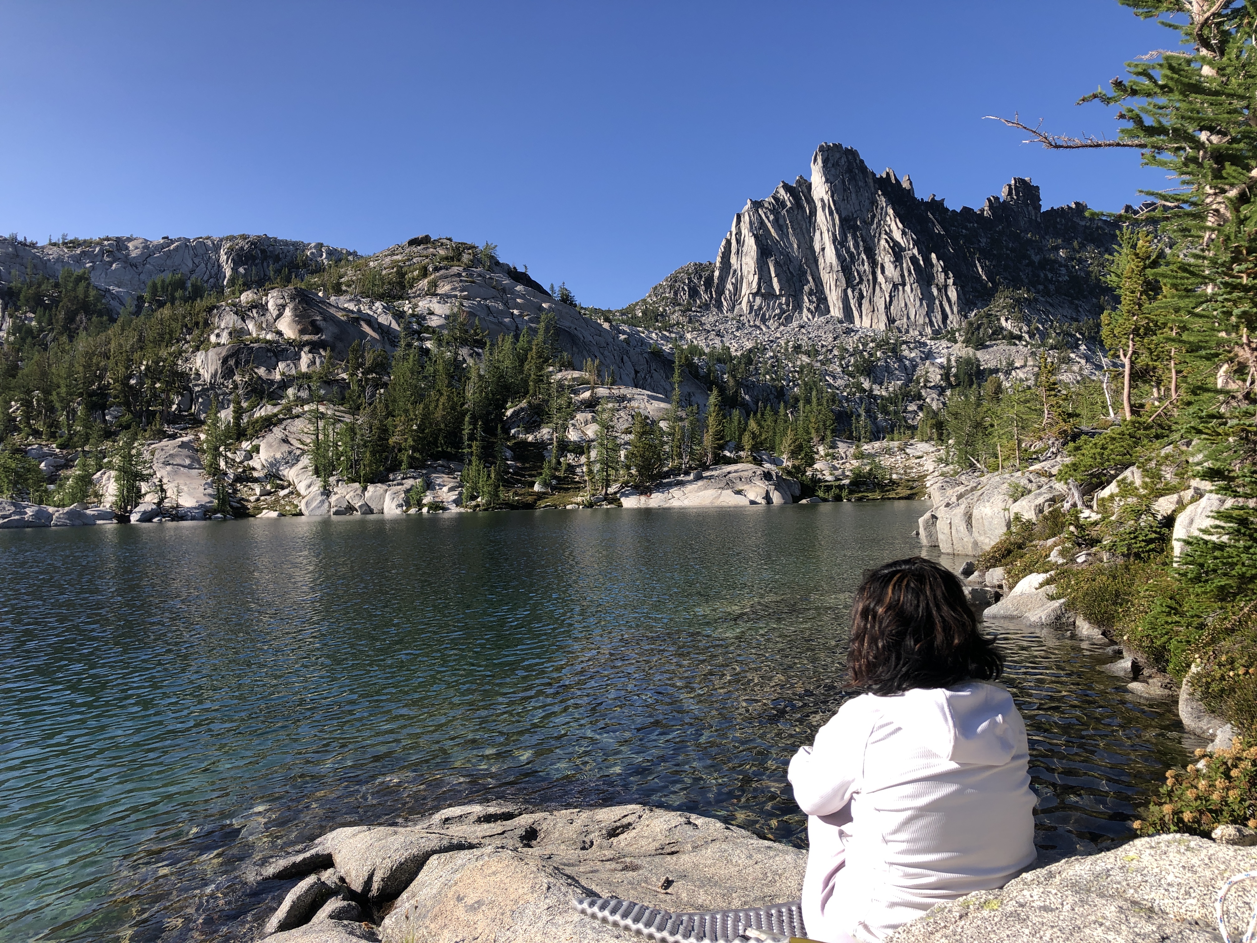
Day 5: We moved our camp to the peninsula at Leprechaun lake. There was no one at any of the campsites in this area. We enjoyed the solitude, the sun and the water: it was peaceful time for yoga and meditation.
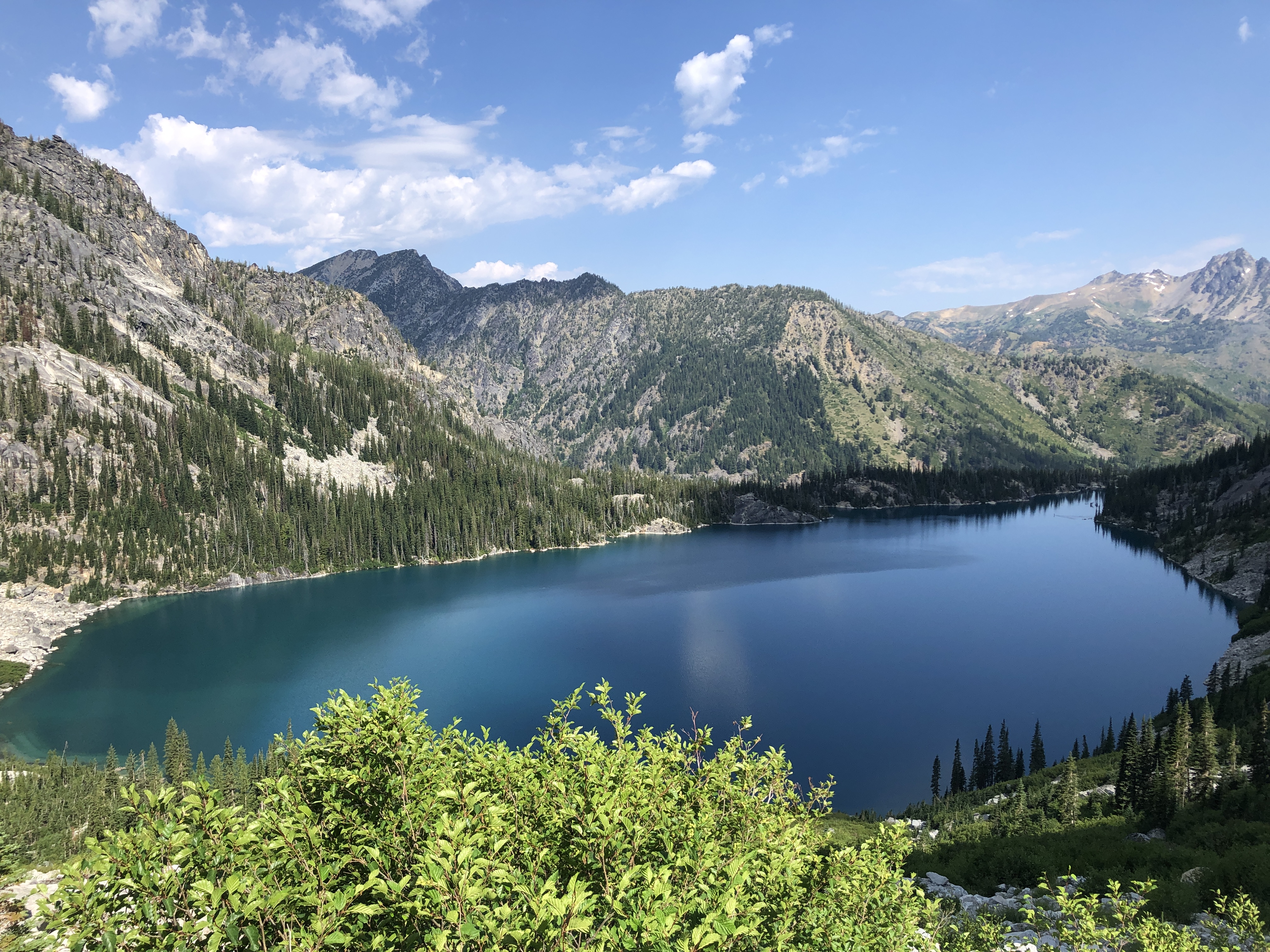
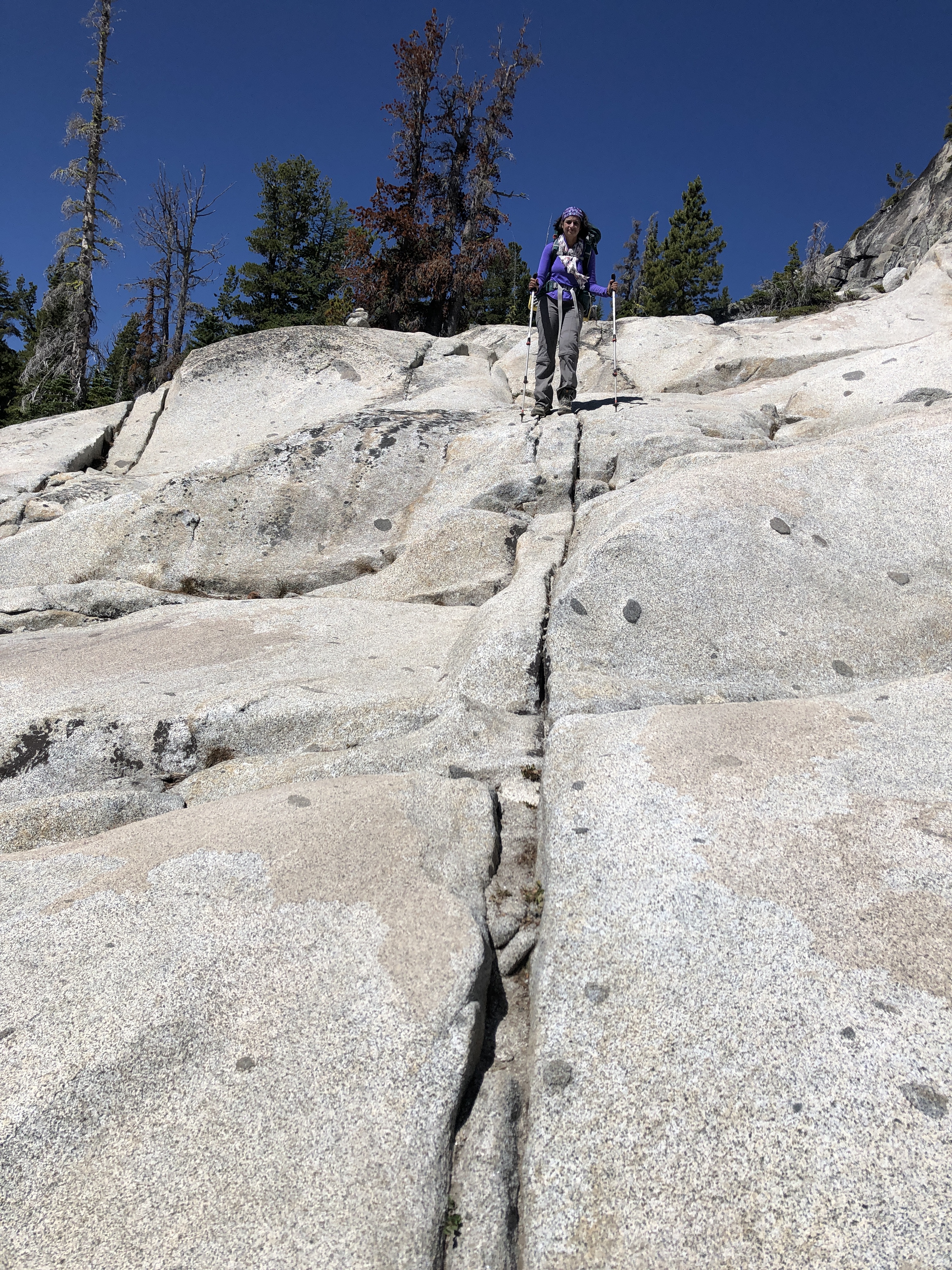
Day 6: Our initial plan was to camp at Nada Lake today, mainly because the exit to Snow lake trailhead was 10 miles long with a 6000 feet elevation drop. But we decided to make it all the way back: we were missing our beds, and almost out of food, and more importantly, out of scotch. The terrain between Leprechaun lake and Upper Snow lake was challenging, with a lot of walking on rocky patches and several times it looked as if we were going to go down the rock face vertically: but each of these turned out to be easier than we imagined, though it was tricky with a backpack and we were also trying to save our knees. Upper snow lake was severely crowded with people camping along the bank of the lake. Almost everyone who has a Snow lake permit will try to camp as high as possible so they can have a shorter hike to the core Enchantments the next few days. We felt so fortunate for the total solitude we could experience with plenty of campsites with hardly anyone around us all the days. By the time we passed Nada, the trail seemed endless and it was extremely tiring when we reached our car.
Distance: 11.2 miles, +450ft, -5872ft
Practical considerations:
If you want to plan a similar trip, here are some additional tips and details that maybe helpful to you. Also, the entire GPS track is available if you want it.
Planning:
The most important part for planning this trip is to get a permit. There are 3 ways to do that:
- Apply for a permit during the lottery, at https://www.recreation.gov/permits/233273, generally between February 15th and February 29th each year. Then wait for the results by mid-march
- Exactly at 7am PST on April 1st, any leftover spots from the lottery get released to public. These generally are sold out in a minute, so try to get yours during that window!
- Check the permit site regularly to see if anyone cancels. This is almost an impossible way to get one, but we have heard folks who we met that got the permit this way
There are 3 different permit Zones that you can try for:
- Core Zone: this zone gives you the maximum flexibility, since you can pretty much camp at any available campsite on the route.
- Snow Zone: this zone allows you to camp at Nada, Lower and Upper Snow Lakes. This is the second best option, since it is practical to visit the core zone from the upper Snow Lake, going back and forth each day
- Colchuck Zone: this allows you to camp at Colchuck lake. This is an easier route to Core Enchantments, since the elevation gain is just 2000ft, but it is a gruelling 2000 ft over 1 mile. Going up and down this trail multiple times is not for the faint of heart.
You need to figure out how many days you want to spend on the trail. The entire trail is pretty short, about 20 miles in all. You are allowed a total of 14 days maximum, and you are allowed only one visit per year. Your hike has to start on the date for whcih the permit is issued, and you are not allowed to go back once you exit.
The most impressive part of this trail is the 4 mile stretch between Asgard and Lake Vivaine. You can just hang out in this stretch for some wonderful views and solitude or pick one of the several options for day hikes such as going to Little Annapurna, Prusik peak, Crystal lake, Vivaine and Temple lakes, Shield, Earle and Mesa lakes.
Our recommendation is that you plan for a minimum of 3 nights in the core Enchantments, if you get that permit. And then add a night at Colchuk on the way up, and a night at Snow on the way down, if needed. It is possible to skip these entirely if you are short of time, but camping at Colchuck is highly recommended. This allows you to do this trek liesurely, spending half a day at Little Annapurna, spending half a day at Prussik Pass. You can of course spend a lot more time if you can, there are hike options that take you to lakes such as Shield, Earle and Mesa that few visit, but seem beautiful. There are also hikes to Lake Vivaine, Temple lake and Crystal lake: which all look beautiful, but we skipped in favor of just relaxing and absorbing the beauty around us.
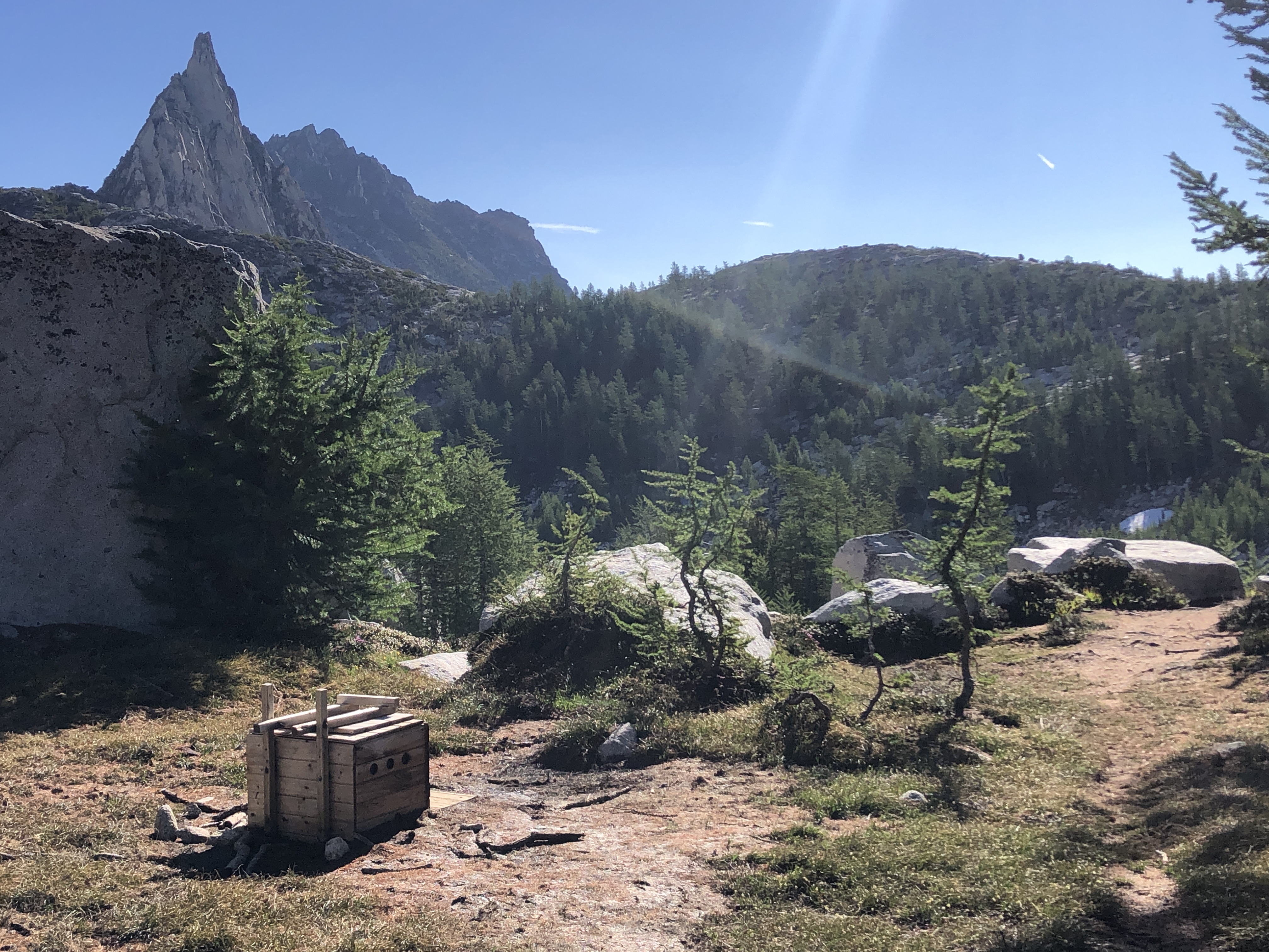
There are a few scattered toilets near some of the popular camping areas, but some of them will be too far away when you need them. Be perpared with a shovel and understand and follow the backcountry rules for using this option.
Bugs are a major problem, with large flies and mosquitos. We found that treating our clothing and tent with Permethrin pretty much kept most of the bugs at bay, so we highly recommend that. We still needed deet for parts of our body that was not covered by our clothing.
Mountain goats are the main wildlife, and they pretty much follow you. They are quite docile, and their main objective in stalking you is to lick the human urine for the salt. They get pretty desperate, and may look or act aggressive. The other wildlife are bears, and you are required to hang your food in the trees to avoid bears getting used to finding food in the camps. The only place we ran into a bear and her 2 cubs were at Nada lake. We also saw tons of hoary marmots.
A topography map is super useful to orient yourself and find your way through unmarked terrain, we used the Green Trails Map 209S
